W5GFE SignalServer WebSite Please note new URL if you got here via a redirection
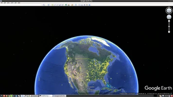
Visit Plot to use the Plotting Interface or see the FAQ
Or inspect the Partial Logbook
What is SignalServer ?
SignalServer is a simulation that can provide insight into geographical coverage of a transmitting system. It
is used by RF engineers, ham radio operators, mobile communications engineers, and others to help determine
placement and effectiveness of antenna structures and repeaters.
Please see this link for more information.
What Can SignalServer Do ?
This website provides
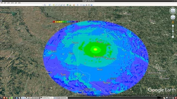
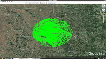
- Longley Rice simulations of radio coverage, either as "bullseye" (signal level) or "Line of Sight" images
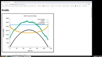
- Path Profile Analysis between two stations
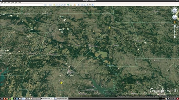
- Downloadable files in KMZ format for use with Google Earth or other applications
- SignalServer can do a lot more - if your needs are more elaborate we recommend installing SignalServer yourself. See About for more information
Using SignalServer with Google Earth
For plots for which it is appropriate, this WebSite provides downloadable "KMZ" files which are compatible
with Google Earth and other mapping software. You can visit Google Earth on the web, or download Google Earth directly on your computer.
Don't forget to learn to use the "opacity" control in Google Earth in either event.
KMZ files can optionally include locations of previous users of the website.
This can be very useful for building a zoomable "ham map" of the vicinity of your QTH.

Start a Plot
Visit Plot to begin using the Plot Engine
last modified December 28, 2024


