| Right-click this to download the KML file |
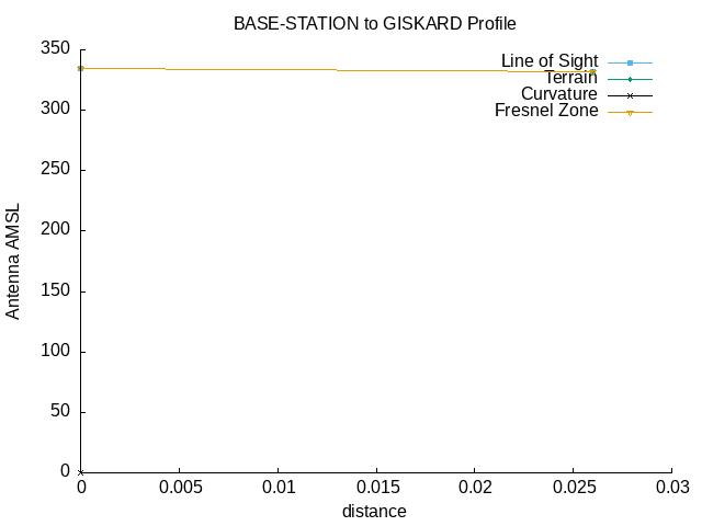 |
| --==[ Path Profile Analysis ]==-- |
| Transmitter site: Tx |
| Site location: 43.6588, -79.3793 |
| Ground elevation: 328.08 feet AMSL |
| Antenna height: 6.40 feet AGL / 334.48 feet AMSL |
| Distance to Rx: 0.03 miles |
| Azimuth to Rx: 57.86 degrees grid |
| Downtilt angle to Rx: -1.0028 degrees |
| Receiver site: Rx |
| Site location: 43.6590, -79.3789 |
| Ground elevation: 328.08 feet AMSL |
| Antenna height: 4.00 feet AGL / 332.08 feet AMSL |
| Distance to Tx: 0.03 miles |
| Azimuth to Tx: 237.86 degrees grid |
| Downtilt angle to Tx: +1.0024 degrees |
| Propagation model: Line of sight |
| Model sub-type: Rural / Optimistic |
| Earth's Dielectric Constant: 15.000 |
| Earth's Conductivity: 0.005 Siemens/meter |
| Atmospheric Bending Constant (N-units): 301.000 ppm |
| Frequency: 2400.000 MHz |
| Radio Climate: 5 (Continental Temperate) |
| Polarisation: 1 (Vertical) |
| Fraction of Situations: 50.0% |
| Fraction of Time: 50.0% |
| Summary for the link between Tx and Rx: |
| Free space path loss: 72.50 dB |
| Computed path loss: 0.00 dB |
| Model error! Computed loss of 0.0dB is greater than free space loss of 72.5dB. Check your inuts for model 2 |